***
Overview
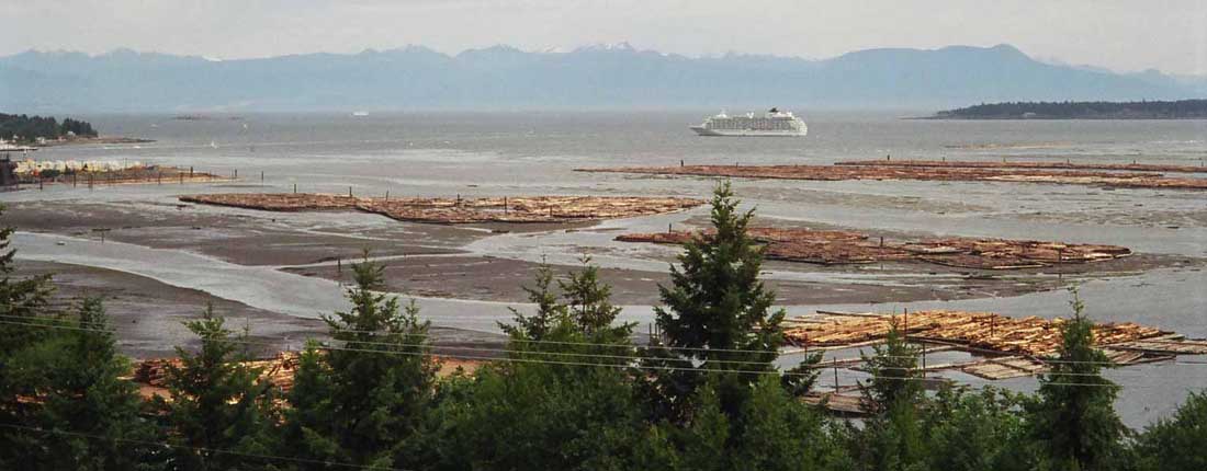
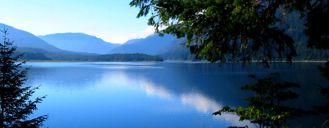
The Nanaimo River Watershed originates from the Island Range on central Vancouver Island, consisting of over a dozen major tributaries and four major lakes. From the headwaters to the estuary it encompasses 95,000 hectares with a main stem river channel of 56 kilometres. The Nanaimo River Watershed and its estuary (the Watershed) are part of the traditional territories of the Snuneymuxw and the Stz’uminus First Nations.
The Nanaimo River Watershed supports many significant values, including:
- Areas and features of historical and cultural significance to the Snuneymuxw and Stz’uminus First Nations
- Aquatic habitat for several species of salmon, trout, other fish species and amphibians
- Riparian, estuarine and terrestrial ecosystems
- Drinking water for the City of Nanaimo, plus groundwater that feeds the aquifers of Cassidy, Cedar, and South Wellington
- Water supply for industrial and agricultural uses
- Forestry, agriculture, aggregate and other industries
- Log storage in the estuary
- Residential living and rural farming
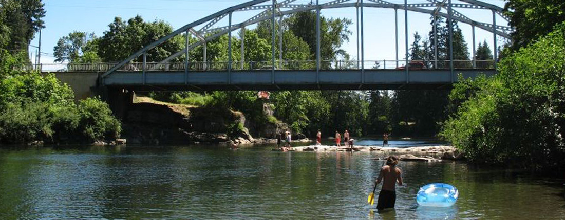
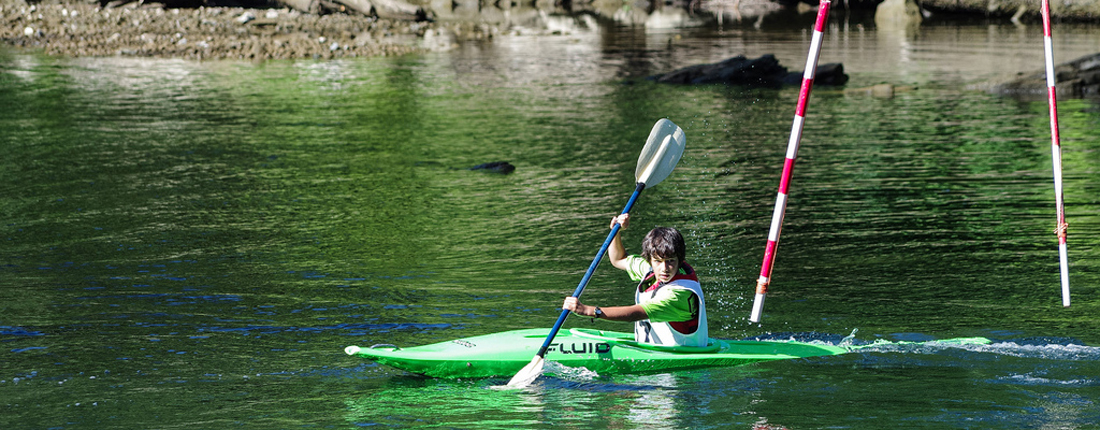
- Recreational opportunities such as hiking, fishing, picnicking, kayaking and rafting, summer swimming, and bird-watching
- Educational and research opportunities.
Geographical Area
The geographical area of interest for the Roundtable is the Nanaimo River Watershed.
*
*
*
